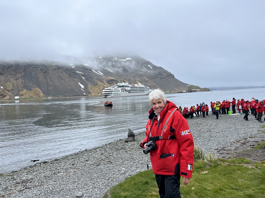
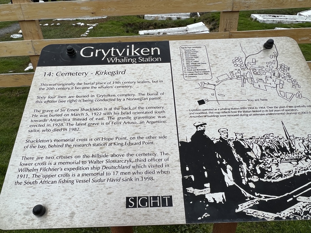
THE FIRST WHALING STATION IN ANTARCTIC WATERS
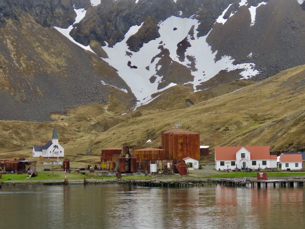
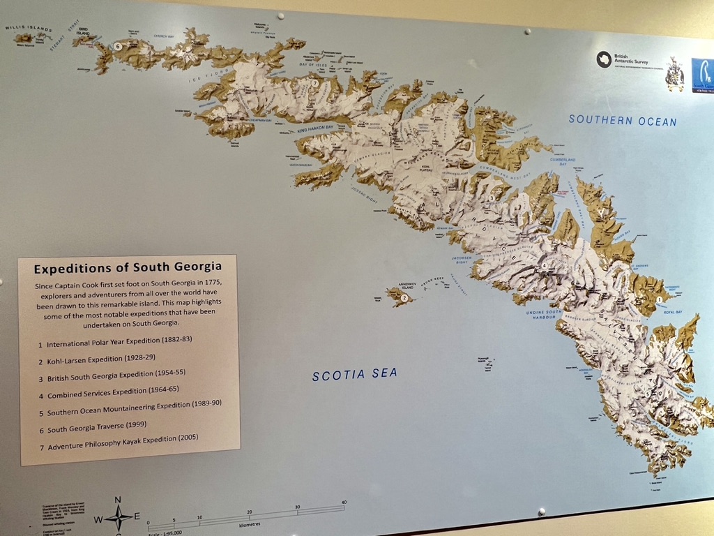
We landed at Grytviken on a cold but bright morning. It is the largest settlement on the island and was formerly a whaling station and is now declared an ‘Area of Special Tourist Interest’ (ASTI). Located at the head of King Edward Cove within the larger Cumberland East Bay it is considered the best harbour on the island. Today there is a small group of people who live there, mostly scientists and Museum conservators, and they tend to stay on six month secondments. The British Antarctic Survey applied fisheries research station is here as well as the Marine Officer, the Government’s sole representative. The Marine Officer’s duties include those of Harbor Master, Customs and Immigration, Fisheries Officer and sub-Postmaster. Quite a busy role for the incumbent especially at the height of the tourism season. Previously, however, it was the hub of whaling in Antarctic waters and was founded by Norwegian Carl Anton Larsen in 1904. Conditions were harsh and there are countless tales and fascinating insights into life at that time now displayed in the Museum.
We reached the shore by zodiac – again after the mandatory decontamination session as per the IAATO regulations. The beach was rocky and we were greeted by huge seals basking on the rough stones and who appeared to be unconcerned by the arrival of aliens on their shore!


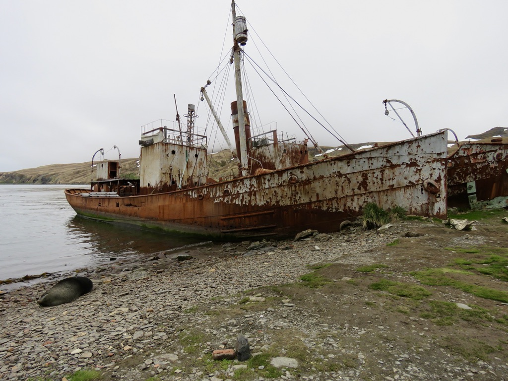
A couple of rusty old whaling ships lying at the edge of the shore reminded us of what this place was once.
Then it was a short hike up to the cemetery which tells the story of the brave men who lived and died here. Most famous was, of course, Ernest Shackleton who died at Grytviken on January 5th 1922 and is buried here facing the bay. We had had lectures and a film about Shackleton’s life and being here brought it all to life.
Shackleton planned to cross Antarctica from a base on the Weddell Sea to McMurdo Sound via the South Pole, but the expedition ship – the Endurance – was trapped in the ice off the Caird coast and drifted for 10 months before being crushed in pack ice. The members of the expedition then drifted on the ice floes for another 5 months and finally escaped in boats to Elephant Island in the South Shetland Islands, where they survived on seal meat, penguins, and their dogs. Shackleton and five others sailed 1,300 km (800 miles) to South Georgia in a whale boat, which took 16 days before landing on the southern side of the island. The crew then made the first crossing of the island to seek help and after four months, Shackleton succeeded in rescuing his crew from Elephant Island – and not one of the crew of Endurance died. A remarkable feat in unbelievable circumstances. In 1921, Shackleton attempted a fourth expedition with the goal of circumnavigating the continent. He died here in Grytviken at the outset of the journey, and it is believed the strain of the expeditions themselves and the exertion in raising funds wore out his strength, and he died of a heart attack.


Along the side of the cemetery was a large sheet of snow and ice and here a few King Penguins were having a leisurely wallow dipping their feet into the stream alongside.

Then we walked a short distance to the Museum to learn more about this fascinating little settlement. I talked with one of the conservators who was a young girl from Shetland, in Scotland. This was her fourth stay on the island and she was delighted because it was summer (November) here but winter in Scotland and she had timed her secondments to be such and thereby had missed two winters in a row! All the same, it can’t be easy to stay in a such a remote place for six months at a stretch with a bunch of strangers for company. Ultimately some would become lifelong friends, I am sure.


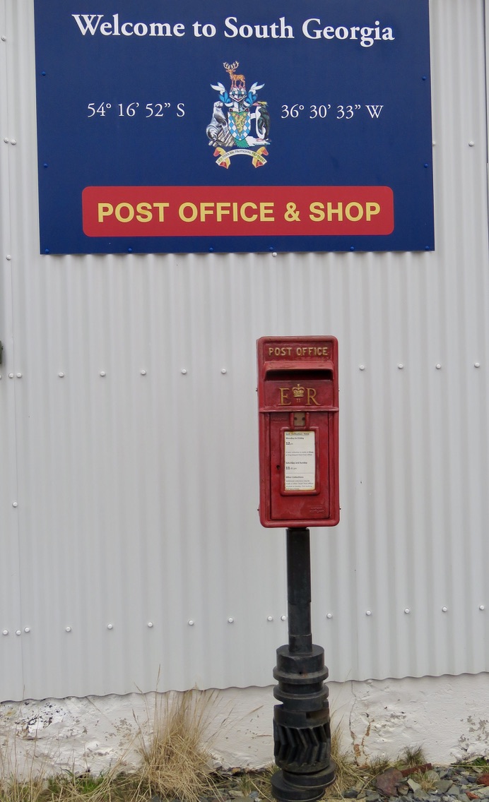
There is a shop and a Post Office and we were able to buy postcards and mail them from here thus having a unique postmark! The shop sold souvenirs as well as woollen clothing and books. We were told they would accept cash or credit cards and so went with cash but were unlucky – that day they only took credit cards! So no souvenirs for me just a lot of memories and heaps of photos of a rather large baby seal blocking the doorway of the shop – so we had to walk around the back!

What a magical day! We immersed ourselves in history, mingled with the wildlife, met some locals and drank in the scenery. More adventures awaited us and we have learnt that no two days are the same!